UAV survey & mapping
Find out more todayUAV LiDAR for survey & mapping
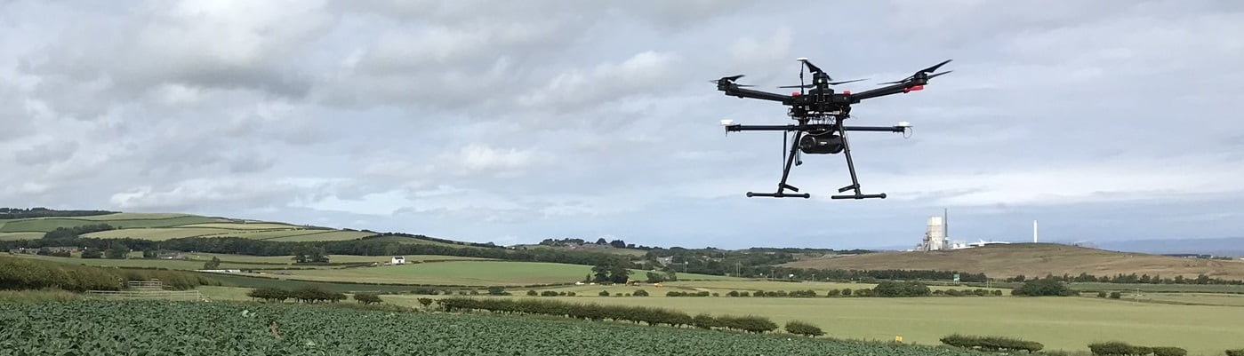
Using UAV LiDAR enables surveys that previously would have been cost prohibitive or impossible to undertake using conventional survey techniques such as hazardous locations or sites where access is difficult.
![]()
Easily collect and process LiDAR 3D mapping data using Routescene’s LiDAR systems and software.
Applications include
Case studies
Survey and mapping
- Using UAV LiDAR to monitor landslides safely
- Using LiDAR mapping system to locate, identify and preserve old trees
Forestry
- Vehicle and drone based LiDAR used to map forest to protect Scottish woodland
- How UAV LiDAR is transforming operational forest management
Environmental
- Mapping the Arctic tundra watershed using UAS LiDAR
- LiDAR helps reveal radiation hotspots at Chernobyl
Research
- LiDAR forestry surveys to inform carbon reduction policies
- Using UAV LiDAR to assess vegetation and establish forest fire severity
Utilities
- LiDAR mobile mapping system used to plan upgrade of powerlines
- Improve powerline vegetation management using UAV LiDAR
Archaeology and cultural heritage
- Discovering 750 year old dwellings in Sand Canyon, Colorado, USA
- Potential mass grave discovered at WWII prison camp
Suitable products
Routescene mobile mapping system
Contact us