Auriel Record
Portable LiDAR system to record the dynamic environment at temporary, static locations.
Request a quoteAuriel Record
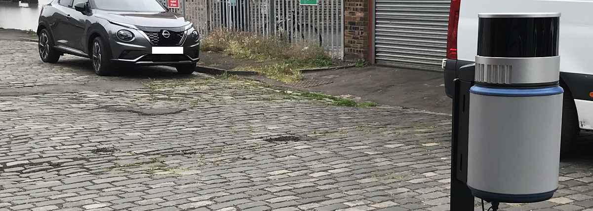
Easy to use and quick deployment are the key features of Auriel Record. This static remote sensing technology enables the recording of 3D LiDAR data at temporary locations.
Using Auriel Record you can scan the environment and record the motion of dynamic objects. These objects can be diverse and typically are vehicles, boats or people. Moving along a road, pedestrianised area or waterway, the motion, quantity and direction of the objects are captured.
The hi-fidelity LiDAR data does not identify individual features of an object, compared to imagery / video which requires pixellation to achieve anonymity. With LiDAR you cannot identify a person or car registration making the system GDPR compliant.
Auriel Record is designed and manufactured in Scotland for temporary outdoor installation and will withstand harsh environmental conditions. The LiDAR data collected has a variety of applications.
Analyse the collected data afterwards and produce digital results using Purepoint Pro post processing software.
Technical specification
- LiDAR sensor:
- Number of channels: 16 / 32 / 128
- Range: 80m / 80m / 30m
- Horizontal Field of View: 360°
- Vertical Field of View: 31° / 31° / 187°
- Storage capacity: approx 10 hours
- GNSS: 66 channel multi-constellation receiver
- External interface: Wi-Fi / Ethernet / RS232
- Dimensions: H 220 x D 105mm
- Weight: up to 2.1kg / 4.6lbs depending on LiDAR sensor
Advantages of temporary installations for data collection
- Quickly deployed and relocated, as needed, due to changing requirements or new areas of interest.
- Lower cost as the set up is for a limited period.
- No commitment to a permanent installation or associated maintenance.
- Ideal for one-time studies, specific events or seasonal variations.
- Minimal or no modifications to the existing infrastructure.
- Provides quick insights for immediate decision-making.
- Enables trial and testing of new technologies or methods before deciding on a permanent solution.
Recommended applications
Smart city
Traffic counting and Vehicle classification to analyse the volume and flow of road traffic.
Footfall monitoring in pedestrian zones, pavements and parks.
Outcomes
Planning: To effectively plan and modify infrastructure and highways.
Health: To monitor air quality.
Retail and advertising: To monitor effectiveness of signage and billboard advertising.
Transportation hubs
Footfall and flow in airports, railway and bus stations, ferry terminals.
Car park occupancy analysis.
Outcomes
Planning: To monitor queue and crowd formation to identify bottlenecks.
Retail and advertising: To identify optimal location of facilities, signage, advertising and retail outlets.
Maritime and waterways
Smart marinas – quantity, vessel length and type classification in and out of ports and harbours.
Volume, flow and classification of vessel traffic along rivers, at bridges, locks and docks.
Outcomes
Planning: To effectively plan and modify infrastructure of ports, harbours and waterways.
Planning: To enable capacity management.
Health & safety: Improve the safe navigation of waterways.
Motion and performance
Gait analysis of people or animals e.g. horses.
Athlete movement and match recording.
Outcomes
Health: To assess biomechanics and movement efficiency and identify potential injury risks.
Sports: Optimise exercise and improve sports performance.
Sports: Post game analysis providing insights for training and strategy.
LiDAR data processing
Purepoint Pro 3D processing software enables the analysis of LiDAR data captured from the dynamic environment for smart city, transportation, maritime and waterways applications.