Auriel Real-time
Streaming point cloud data in real-time at permanent installations.
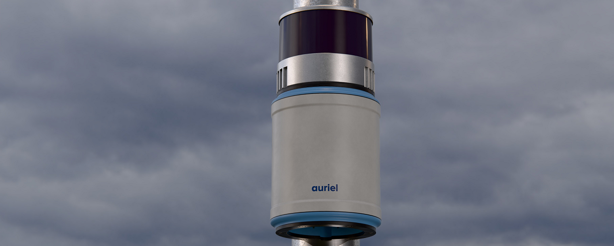
Request a quoteAuriel Real-time
Simple to set up and robust are important benefits of Auriel Real-time. The system enables the recording and streaming of a full panoramic point cloud of its’ surroundings at permanent locations. The LiDAR point clouds are transmitted in real-time over ethernet.
The 360° view of the environment will include objects of interest such as vehicles, boats and people. The motion, quantity and direction of these objects can be determined, for example, a vehicle moving along a road or a person walking through a pedestrianised area.
The high resolution LiDAR data is GDPR compliant. It does not identify specific features of an object, in contrast to imagery / video which requires additional processing to achieve anonymity. For example, with LiDAR you cannot identify an individual or a car registration.
Auriel Real-time is designed and manufactured in Scotland to withstand harsh environmental conditions at permanent outdoor installations. The LiDAR data collected has a variety of applications.
Auriel Real-time incorporates edge computing. The system converts the raw LiDAR data into a point cloud and undertakes data reduction and filtering before streaming. This real-time filtering prior to transmission ensures the data payload is kept to a minimum to enable efficient data transfer. The streamed data is typically sent to a server to enable further post processing and analysis using a software application such as Purepoint Pro.
Technical specification
- LiDAR sensor:
- Number of channels: 16 / 32 / 128
- Range: 80m / 80m / 30m
- Horizontal Field of View: 360°
- Vertical Field of View: 31° / 31° / 187°
- Real-time: Streaming of processed raw LiDAR data in a point cloud (x,y,x intensity)
- External interface: Ethernet, streaming via TCP/IP or UDP
- Storage capacity: Optional logging of approx 10 hours of data
- GNSS: 66 channel multi-constellation receiver
- Dimensions: H 220 x D 105mm
- Weight: up to 2.1kg / 4.6lbs depending on LiDAR sensor
Advantages of permanent installations for data collection
- Enables long-term analysis of trends providing richer, more reliable datasets.
- Once installed the system provides continuous data without the need for regular adjustments.
- Can be merged with other management or data collection systems for enhanced efficiency.
- Dedicated power sources and protection from external factors allows for a longer operational life.
Recommended applications
Smart city
Volume, flow and classification of road traffic by undertaking traffic counting and vehicle classification.
Footfall monitoring in pedestrian zones, pavements and parks.
Intelligent Transportation Systems (ITS).
Outcomes
Real-time monitoring of traffic and pedestrians.
Aiding the real-time analysis of air quality.
Toll booth traffic management.
Transportation hubs
Footfall and flow in airports, railway and bus stations, ferry terminals.
Outcomes
Real-time monitoring of queues formation to identify bottlenecks.
Real-time crowd monitoring to ensure public safety.
Maritime and waterways
Smart marinas – quantity, vessel length and type classification in and out of ports and harbours.
Volume, flow and classification of vessel traffic along rivers, at bridges, locks and docks.
Outcomes
Real-time monitoring of marina capacity.
Real-time monitoring of traffic in ports and harbours.
Real-time monitoring of marine traffic to ensure the safe navigation of waterways.
Industrial
Stock pile monitoring, such as aggregates, woodchip and waste.
Outcomes
Real-time monitoring of stock pile volumes to manage production and order fulfilment.
LiDAR data processing
Purepoint Pro LiDAR processing software enables the analysis of the dynamic environment in real-time for smart city, transportation, maritime and waterways applications.