Survey & mapping
LiDAR survey and mapping applications using Routescene's UAV or mobile LiDAR mapping systems.
Find out about Routescene productsLiDAR survey & mapping applications
Easily collect and process LiDAR 3D mapping data using Routescene’s LiDAR systems and software.
1. UAV LiDAR
UAV LiDAR systems enable surveys that are impossible to undertake or cost prohibitive using conventional survey techniques such as at hazardous locations or sites where access is difficult.
Applications include:
- Survey and mapping. Read the case study: landslide monitoring.
- Humanitarian aid. Read the case study: land mine clearance.
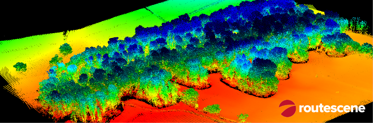
- Forestry. Read the case study: operational forest management.
- Environmental. Read the case study: Chernobyl radiation hotspots.
- Research. Read the case study: forest fire severity.
- Utilities. Read the case study: vegetation management.
- Archaeology. Read the case study: mapping an ancestral Pueblo site.
2. LiDAR mobile mapping
Vehicle LiDAR system for road based surveys.
Applications include:
- Asset management.
- Highways management.
- Construction and infrastructure mapping including powerline mapping.
- Urban environment mapping.
- Environmental topography mapping.
- Vegetation management.
3. Purepoint LiDAR data processing software
Powerful 3D mapping software to visualize and process LiDAR data.
4. UAV Ground Control
Use Routescene’s UAV Ground Control Targets to improve accuracy and demonstrate the level of accuracy achieved.