Navigation
Mapix technologies
Contact us
sales@mapix.com
  • Lidar systems
    • Auriel Record
    • Auriel Real-time
    • Routescene
  • Software
  • LiDAR sensors
    • Hesai LiDAR sensors
    • Velodyne LiDAR sensors
  • Applications
    • Smart city
    • Transportation
    • Maritime & waterways
    • Survey & mapping
    • Autonomous vehicles
    • Robotics
  • Case studies
  • About us
    • News
    • 5 reasons to choose Mapix
    • Our team
  • Contact us
Return to Content
Point cloud created using Purepoint Pro LiDAR data processing software displaying LiDAR survey data and geospatial mapping of a woodland.

Routescene

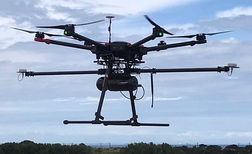
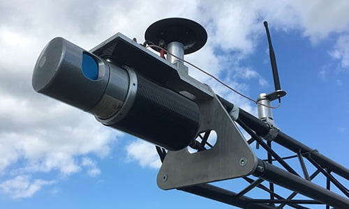
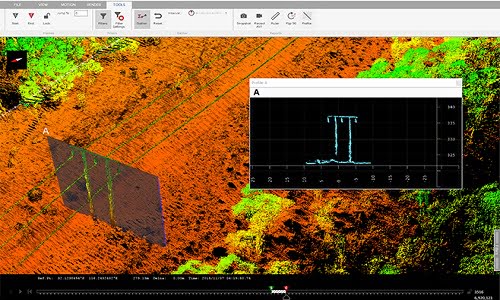
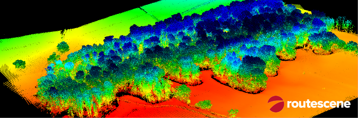
Easily collect and process LiDAR geospatial mapping data using Routescene’s LiDAR systems and Purepoint software.

Photograph of Routescene UAV LiDAR system in flight

UAV LiDAR systems

Range of UAV LiDAR systems for different applications, performance and price requirements.

Routescene LiDAR mobile mapping system

LiDAR mobile mapping system

Vehicle LiDAR system for road based surveys to collect and process 3D data.

Screenshot from Purepoint Pro, Routescene's LiDAR data processing software

Purepoint LiDAR data processing software

3D LiDAR mapping software to visualise and process LiDAR data to deliver final outputs.

Mapix technologies

Company No. SC167731

© Mapix technologies Ltd 2025

Connect with us

Mapix technologies Ltd
17b Graham Street
Edinburgh
EH6 5QN

Scotland, UK
T +44 (0)131 563 0783

E sales@mapix.com

About this Site

  • Sitemap
  • Website terms of use
  • Privacy policy
  • Accessibility
  • News
  • Contact us